


256 zobrazení
Klátovské rameno represents a unique lowland watercourse and, at the same time, a national nature reserve of European importance, characterised by a rich mosaic of eutrophic and mesotrophic wetland habitats.
These ecosystems support a high level of biodiversity, including more than 80 bird species as well as numerous rare plant and animal species, notably aquatic vegetation communities of the Magnopotamion and Hydrocharition types. Historically hydraulically connected to the Malý Dunaj River, the system has been subject to long-term degradation caused by alterations in the hydrological regime, sedimentation processes and anthropogenic interventions. This development highlighted the need for comprehensive expert assessment and targeted revitalisation measures.
Within the project Status improvement of wetland of Klátovské rameno NNR located in SKUEV0075, detailed hydrological, ecological and landscape-ecological analyses were therefore carried out, providing a scientific and methodological basis for the design of measures aimed at improving flow conditions, sediment dynamics and habitat diversity. An integral part of the project was the preparation of several thematic studies and guidance documents focusing on the Klátovské rameno locality, which constitute the core outputs of the project’s activities and serve as a foundation for the subsequent implementation of restoration measures.
- Analysis of the current status and final proposals for the revitalization of the Klátovské branch
- Annex 1 Analysis of the structure of populations and communities of aquatic fauna and flora in the Klátovské rameno Nature Reserve with a prediction of the consequences of the proposed revitalization measures
- Annex 2 Proposal for the Program for the Care of the Protected Area SKUEV0075 Klátovské rameno
- Annex 3 Manual for the management of invasive tree species in the Klátovské rameno National Nature Reserve
- Annex 4 – Map 1 Overview of the Klátovské branch, the Čótfa branch and the Soliari branch
- Annex 4 – Map 2 New source of clean water in the upper dry section of the Klátovské branch
- Annex 4 – Map 3 Flooding and agitation of the upper quarter of the branch
- Annex 4 – Map 4 Local accelerations and sediment transport in the lower half of the branch and flooding and overflow of the Soliari branch
- Annex 4 – Map 5 Installation of information bilboards in the cadastral area of the municipality of Ohrady – educational trail
- Landscape-ecological study of the European significant area SKUEV0075 Klátovské rameno
- Water management and environmental study

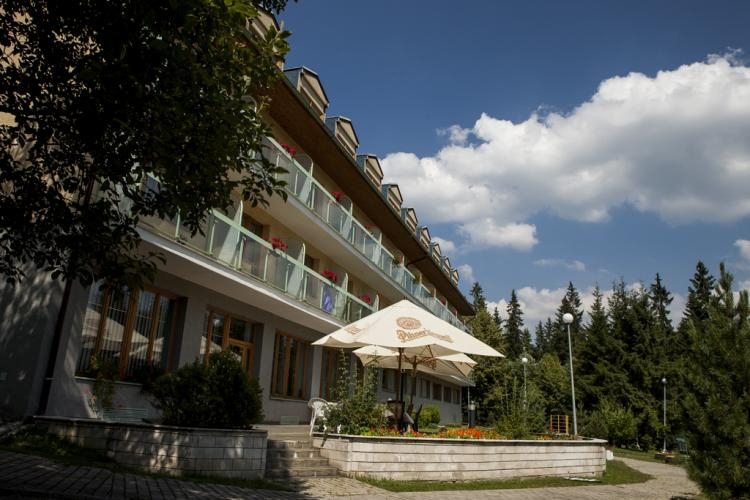 Hotel Meander Tatranská Štrba
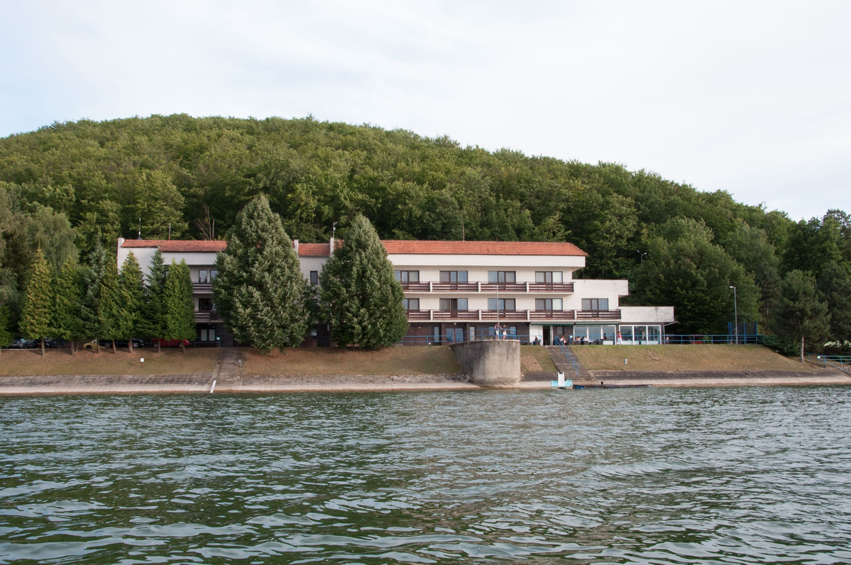 Service training and recreation facility Ruzina
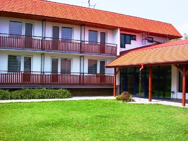 Patrek service training center in Patince